9873322530info@kaspl.in

KRISHNAA ADVANCE SYSTEMS

Unmanned Systems and Drone Payloads

Advanced sensor payloads and imaging systems for unmanned aerial platforms - enabling reconnaissance, surveillance, assessment, and specialised analytics with integration-ready outputs.

LIDAR payload systems
FLIR thermal payloads
RGB multispectral payloads
Multispectral imaging payloads
Gimbal stability
Stabilised imaging and scanning.
Integration outputs
USB/Ethernet/video pipelines.
Mission adaptability
Payloads fit diverse missions.
Secure workflows
Operational discipline and logging.
Operational sensing
Payloads designed for reconnaissance and surveillance in demanding conditions.
Integration readiness
Standard output formats and interfaces for mission workflows and storage.
Lifecycle approach
Support for calibration, maintenance, and modernisation pathways.
LIDAR PAYLOAD SYSTEMS

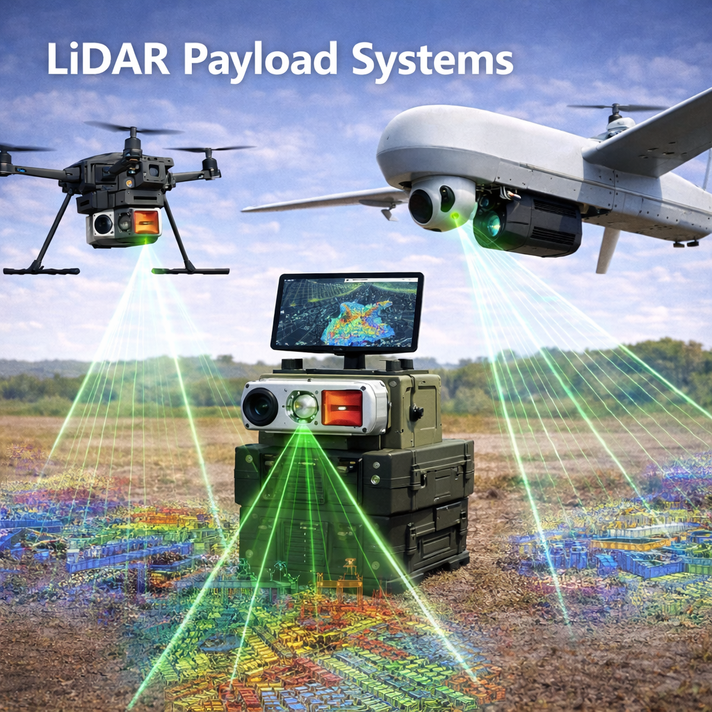
3D terrain mapping, obstacle detection, and autonomous navigation.

Light Detection and Ranging (LiDAR) payloads generate dense 3D point clouds for high-precision modelling and navigation support. Designed for compact platforms with mission-ready interfaces.

LiDAR payload system
300k pts/s scan rate
+/- 3 cm accuracy
400-600 g class
USB 3.0 / Ethernet
Detection range
50 m to 300 m
Vertical accuracy
+/- 3 cm at 100 m
Horizontal resolution
5 cm point spacing
Scan rate
300,000 points per second
Operating altitude
20 to 500 m AGL
Weight
400-600 g (integrated gimbal)
Power consumption
8-12 W peak
Integration
USB 3.0, Ethernet
Applications
High-precision elevation models for planning
Mine detection and explosive hazard mapping
Urban terrain analysis and 3D modelling
Vegetation mapping and landslide assessment
Infrastructure inspection and damage assessment
FLIR THERMAL PAYLOADS

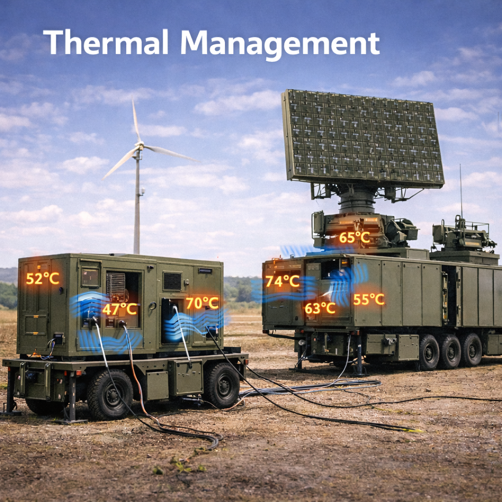
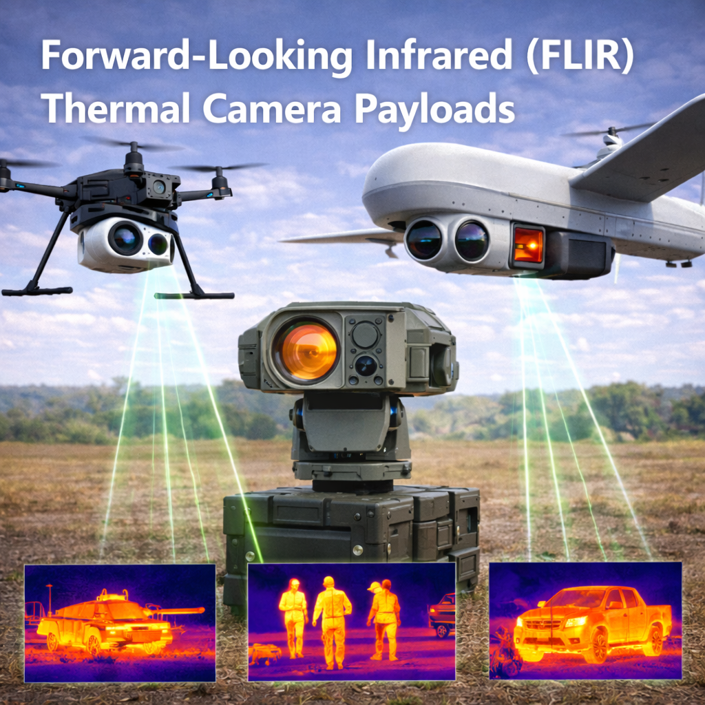
All-condition thermal imaging for identification and assessment.

Thermal payloads support night operations and weather penetration with stabilised gimbals and integrated visible cameras for context and documentation.

FLIR thermal camera payload
LWIR 640x512 detector
< 50 mK NETD
3-axis stabilised gimbal
Radiometric capable
Thermal detector
LWIR uncooled microbolometer (640x512, 12 um)
Thermal sensitivity
< 50 mK NETD
Thermal range
Person at 10 km, vehicle at 15 km
Visible camera
16MP with high-zoom integration
Gimbal
3-axis stabilised (+/- 0.05 deg accuracy)
Field of view
Thermal 26 deg to 5 deg (motorised zoom)
Image enhancement
Thermal-visible fusion style overlay
Temperature measurement
Radiometric measurement capability
Weight
1.2-1.5 kg complete payload
Power requirement
24VDC, 30-40 W
Data output
Ethernet, USB, or video output
Operational advantages
Night vision independent of ambient lighting
All-condition weather penetration
Thermal signature analysis for threat assessment
Context capture with integrated visible spectrum camera
Radiometric measurement for specialised use cases
RGB MULTISPECTRAL CAMERA PAYLOADS

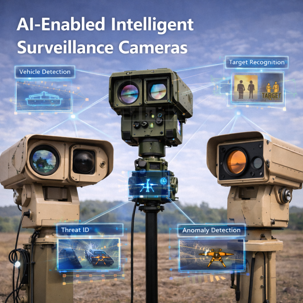
High-resolution imaging for reconnaissance and situational assessment.

High-resolution visible spectrum imaging supports intelligence gathering, documentation, and damage assessment. Stabilisation and lens flexibility support diverse mission requirements.

High-resolution camera payload
24MP-108MP imaging
24mm-240mm lens range
5-axis stabilisation
USB-C / HDMI / Ethernet
Resolution
24MP to 108MP (mission selectable)
Sensor format
Full-frame or APS-C
Lens assembly
24mm to 240mm (35mm equivalent)
Stabilisation
5-axis electronic and mechanical stabilisation
Dynamic range
14+ stops for high-contrast environments
Low-light performance
ISO 6400 with noise reduction
Video capability
4K 60fps, 8K 30fps options
Weight
600-800 g (payload only)
Integration
USB-C, HDMI, Ethernet
Mission applications
High-resolution surveillance photography
Target location and identification support
Damage assessment and documentation
Infrastructure inspection and survey operations
Evidence documentation for investigative support
MULTISPECTRAL IMAGING PAYLOADS

Multi-band imaging beyond visible spectrum for specialised analytics.

Multi-band payloads enable analysis across configurable spectral bands - supporting vegetation indices, water quality assessment, soil composition, and camouflage analysis in mission environments.

Multispectral imaging payload visualisation
5-11 spectral bands
2.5 cm GSD @ 100 m
GeoTIFF outputs
Calibrated workflows
Spectral bands
5 to 11 configurable bands
Band selection
Blue, Green, Red, Red Edge, NIR, SWIR
Spatial resolution
2.5 cm GSD at 100 m altitude
Radiometric calibration
Factory calibrated, field adjustable
Data format
GeoTIFF with calibration metadata
Processing suite
Included processing and analysis workflows
Weight
1.8-2.2 kg complete system
Power
48VDC, 35-50 W
Integration
Ethernet, USB storage, database links
Specialised applications
Vegetation health and agricultural assessment
Water resource mapping and quality analysis
Mineral and geological feature identification
Chemical plume and hazardous material detection
Camouflage effectiveness assessment
Environmental and ecosystem monitoring
Precision land management workflows